The trail starts on the highway between Nancy Green Lake and Rossland, about 10 km from Rossland. For the first kilometer or two the trail traverses a lovely stand of old-growth Western Red Cedar and Western Hemlock.
This Varied Thrush was very accommodating - posing in a shaft of sunlight in the otherwise shady woods.
The first few km of the trail is forested, but with little openings that provide light for herbacious plants such as Hooker's Fairybells.
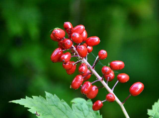
This is the fruit of the Baneberry plant. It is highly poisonous - as few as two berries can cause severe symptoms and even death.
Black Gooseberry fruit, on the other hand, is edible but not overly palatable (imho)
This Great Horned Owl was out and about in broad daylight. We spooked it up out of one tree and it flew into another before deciding to vamoose.
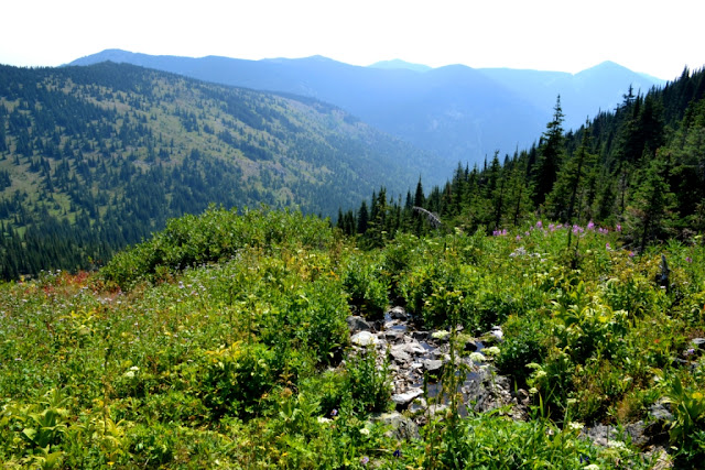
As the trail climbs it goes through open sub-alpine forest with lovely meadows full of wildflowers.
Some kind of fly pretending to be a bee or wasp, feeding on flowers of a plant from the carrot family that I wasn't able to positively identify.
I think this might be a Satyr Comma aka Satyr Anglewing butterfly. There are a number of species in the Comma family that are very similar.
Sub-alpine Daisies (I think)
Meadow Arnica (maybe)
After several kilometers of hiking we reach the first ridge and Old Glory comes into view to the southwest. The trail continues down into the saddle and then wraps around the south side of the mountain where the terrain is a bit gentler.
Only 3 km and 325 metres in elevation to go!
A welcome little spring and meadow - the only source of water on the upper part of the trail.
There was a lot of Columbian Monkshood growing in the meadow.
A good cooling off and rehydrating spot for Dawg.
Very lovely alpine meadows.
Pretty flower, and they were all along the upper part of the trail, but I don't know what they are.
We noticed a few little Juncos in the scrubby Subalpine Firs along the way, and then...
This hawk swooped down on to a dead tree right in front of us. I think it may be an immature Cooper's Hawk. Checking out the Juncos maybe, but then it noticed us and took off.
There was a lot of smoke from fires in the US, so the views weren't so great. This is looking south (into the States)
Near the top of the mountain the trail crosses a large, dry grassy meadow.
There used to be a forestry fire lookout station on the mountain - this is what is left of the lookout house. It looks like it was quite a nice cabin and even had power. We noticed bits of the old power cable along the trail. I wonder if they used horses to pack the cement for the foundation way up here (along with everything else)?
The actual lookout building is still intact and maintained, on the very peak of the mountain.
View from the top looking back toward Rossland and Trail.
Ladybugs again!! WTF? Does every mountain have hundreds of ladybugs clustered on the peak? Maybe some kind of alien invasion??
The inside of the lookout. It is open for hikers and skiers to use, but I imagine one would have to pack one's own propane for the stove :)
I was surprised to learn that this was still a semi-active fire watch site.
I hear ya brother!
Whew! Nine hours, some 16 km and 1000 metres in elevation today. Not bad for a couple of old farts - right, Dawg? Dawg?
G'Night buddy.


